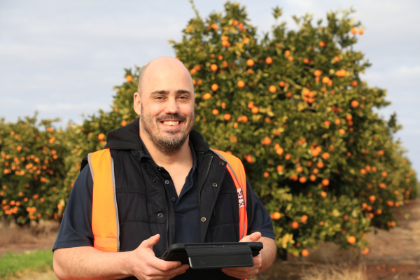
CITRUS Australia’s traceability officer Paul Stephens has been responsible for populating the National Citrus Map.
“My role basically involves gathering the data around all citrus plantings in Australia, correlating it, and putting it into the map, using the tools built by (Applied Agricultural Remote Sensing Centre),” he said.
Paul has spent almost a year out of the Citrus Australia office mapping in detail citrus crops across Australia.
“My day-to-day now includes extensively trying to fill in gaps in the traceability map; looking for any plantings that may have gone in recently that haven’t appeared in the KCT or citrus tree census data,” he says.
“That could be members who haven’t provided all the data that we need around blocks, it might just be gaps in small farms, it could also be growers who aren’t members with CA. We need to chase up what they have planted in the form of their varieties, the rootstock, numbers of trees and spacing and so forth.”
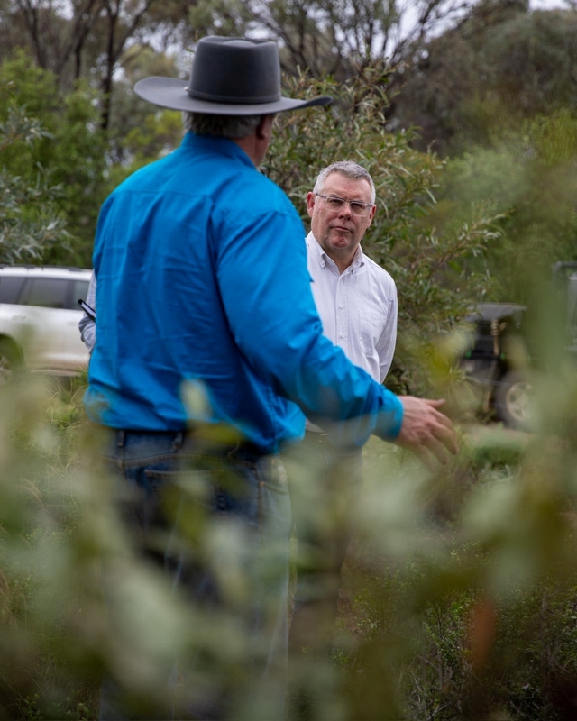
Some growers in the Murray Valley area might have already met Paul on the road with his iPad and CA fluro vest double-checking plantings.
“The map will also support biosecurity in forms of pest control and disease management,” he says. “If there are outbreaks, we will be able to better identify where they are, and get on top of them far more quickly.
“It will also be beneficial for growers who are looking to export, making the process of applying for KCT much more straightforward and streamlined.”
Paul says he will reach out to growers and members of CA, not just in the Murray Valley, to assist him in filling in remaining gaps by gathering as much data as possible.
“It may not seem important, things such as rootstock, or even just understanding tree spacings and so forth, but all that data is really useful,” he says.
“It helps us better understand the nature of what’s planted and what’s going in and really where the industry is headed. All that information is really helpful in what we’re trying to achieve.
“I’ll try contact first on either phone or via email to see if we can get that data in electronic form, otherwise it is boots on the ground and trying to see if we can visually identify what’s there.”
This project has a number of applicable benefits across the industry, and he has received positive feedback from growers so far.
“It will help us with forecasting future years because it will provide greater detail in what is being planted and how much citrus has actually been grown,” he says.
This will also enhance CA’s advocacy to government, as it will have a better grasp of the size of the crop in each region, be more equipped to grow exports and be faster to respond to disease outbreaks, bushfires and floods.