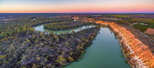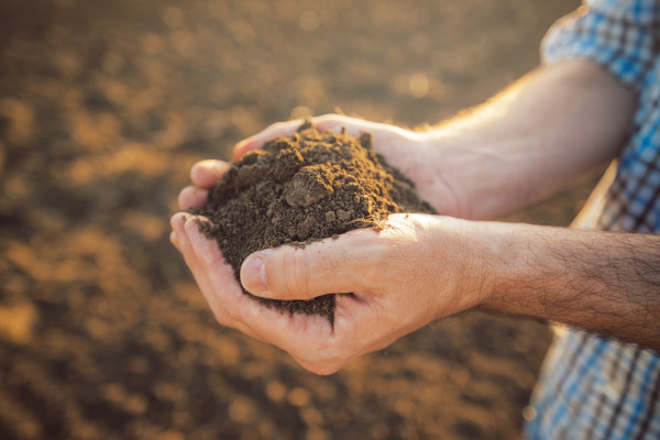
A NEW research and development project is under way to develop products to help growers map their soil constraints in three dimensions across the paddock.
The products will use machine learning to map constraints such as sodicity, pH, salinity and gravel, and determine the depth at which these constraints become limiting and impact plant available water capacity (PAWC).
The three-year, $2.6 million project has investment from the Grains Research and Development Corporation (GRDC) in partnership with the University of Sydney and will work with leading Australian AgTech business PCT AgCloud to bring the new products to market.
Once commercially available, the products will help growers and advisers to better predict crop yield variability, both pre- and in-season, and make decisions on management options such as inputs and soil amelioration.
The University of Sydney’s Professor Thomas Bishop, the academic director of the Sydney Informatics Hub, said machine learning approaches can harness the large amount of digital data available to growers and consultants from a range of sources.
“The data for this project comes from publicly available soil and climate databases, satellite-derived information and on-farm surveys and monitoring, which can be analysed for improved decision-making on-farm,” Prof. Bishop said.
It builds on a pilot project by GRDC and the University of Sydney which developed the initial machine learning models to map soil constraints and PAWC.
“This project will validate these models in more environments and scenarios and develop constraint-limited PAWC maps based on site and crop dynamics,” Prof. Bishop said.
“The initial project tested the approach on four farms,” he said.
“In this new project we will scale out to 75 farms Australia-wide for further testing across a range of soil, climate and farming systems.”
It will also develop improved sampling strategies based on soil constraint maps, PAWC maps, and “uncertainty” maps, and deliver this information to growers and agronomists through PCT AgCloud mapping products that aid soil management and input decisions.
“For areas where a lot of soil constraints data exists, one product will use freely available satellite imagery, modelled estimates, and other historical training data to enable users to try out mapping their paddock soils in 3D,” Prof. Bishop said.
“For areas where little data exists, a premium version will generate custom 3D maps of key soil constraints, depth to soil constraints and PAWC for any paddock where soil test and precision ag data has been uploaded.
“These maps will be provided in a standard electronic format so they can be used to guide variable rate management for soil amelioration.
“Additionally, spatially optimal soil sampling sites will be determined for a given paddock or farm using our modelling approach, which will give growers an understanding of the type, depth and location of soil samples required to achieve the model accuracy needed for the 3D mapping and amelioration of constraints.”
The project started in June 2022 with nationally applicable PAWC and depth-to-constraint products expected in mid-to-late 2024.