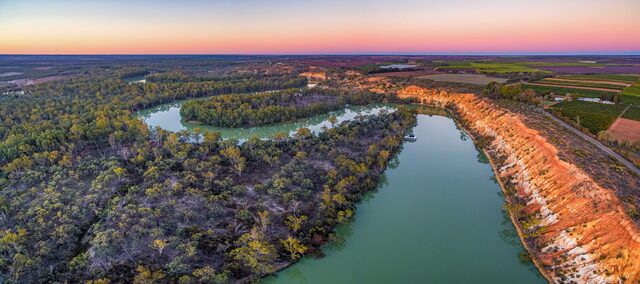
SUNRAYSIA and the Mallee have been under the StevTech microscope for the past six years and nothing appears to be escaping its eagle eyes.
As farms get bigger, some jobs get that bit harder – including finding time to scout for weeds or monitor paddocks after a spray application.
Which is where StevTech drone and data specialist Tristan Steventon comes in.
He said his business had already targeted Sunraysia as part of its coverage and had been toying with the idea of setting up a Mildura-based operation to facilitate the expansion.
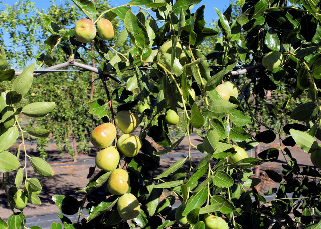
“With the intensive farming there, in its orchard industries and vines, there is a lot of work for cutting-edge drone technology,” Mr Steventon said.
“It doesn’t matter whether you are in almonds, citrus or table grapes, ultra-high-resolution cameras on drones provide a practical way to rapidly and remotely collect weed data for spray jobs and to monitor changes over time.
“We do a lot of work with De Bortoli (Wines) further upstream and theirs is a pretty big wine-grape enterprise as well.
“And in broadacre enterprises, drone cameras can collect very high-resolution data, and when paired with computer vision AI technology, can create a herbicide spray map for use in a nozzle or section control spray boom.
“The technology can identify weed species, and there are innumerable applications for both fallow and in-crop situations.”
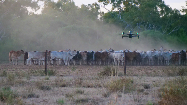
StevTech and Ripper Corp recently received approval to install drone docking stations on farms and operate them remotely.
Mr Steventon said this would enable drones to be another monitoring device, like an on-farm weather station, soil moisture probes, or tank sensors.
Having a drone based on the farm and ready to fly means data can be collected regularly without someone standing in the paddock operating the drone.
“The weed maps also provide meaningful data about weed pressure and the effectiveness of herbicide applications,” Mr Steventon said.
“Growers may not notice herbicide resistance until it is close to full-blown, but regularly monitoring a paddock with a drone gives a whole-paddock view and early warning of weeds surviving treatment.”
Drones can collect data that helps maximise a consulting agronomist’s impact in a cropping business.
Like optical spot spraying, drone-to-tractor weed mapping can vastly reduce the quantity of herbicide applied to a paddock. One map can be used for multiple applications, such as double-knocking fleabane in fallow.
A weed map generated from the processed drone images is suitable for use in any spray rig with section control.
Contract drone weed mapping (image capture plus processing) costs about $4 to $7 per hectare, depending on the task. The flight time for a 100ha block is about 90 minutes.
The reduction in herbicide applied can offset the mapping cost, and the paddock-wide data collected allows the agronomist to make recommendations without needing an on-farm inspection.
Having a drone stationed on-farm has many benefits, such as immediacy or routine monitoring. Being set up and ready to fly removes the costs and logistical difficulties of accessing a drone and pilot to fly the farm when needed.
Mr Steventon said StevTech’s ‘drone-in-a-box’ system had just been CASA-approved for ‘beyond visual line of sight’ (BVLOS) use, which opens even more practical uses of the technology in agriculture.
He said a detailed paddock history can highlight looming problems, such as low-level resistance to a herbicide mode of action.
“Until now, regular drone monitoring has been fairly cost-prohibitive, but the deployment of a docking station significantly changes these calculations,” Mr Steventon said.
“You can use your own drone, but collecting suitable data at scale requires a professional-grade drone, costing around $30,000 to set up properly.
“Drones are increasingly being used for aerial application of agricultural chemicals, and the industry is learning more about accurate and safe application methods.”
CASA has made special dispensations for drone use on farms. A concise description of the rules can be found on its website.
“The data collected in one drone flight can be interrogated for multiple agronomic purposes,” Mr Steventon said.
“For example, you can conduct crop emergence checks, scout for insect pests and beneficials, symptoms of crop disease or nutrient deficiency/toxicity, as well as weed detection and identification.”
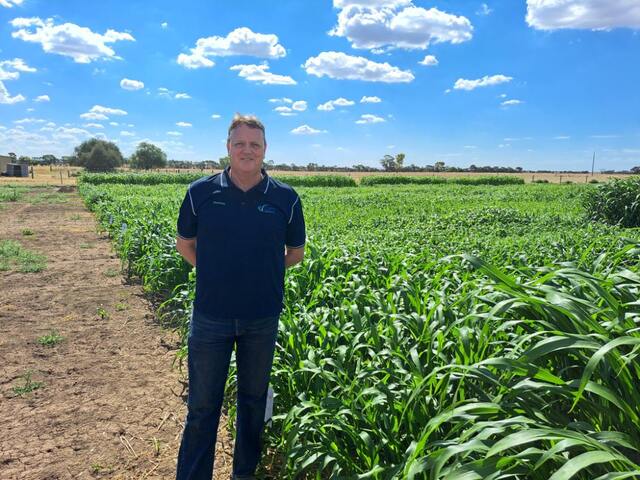
GRDC’s current Grain Automate project aims to demonstrate the practical use of drone scouting in a 100ha trial field to provide all agronomic recommendations for a complete fallow and cropping cycle without the agronomist entering the paddock.
The paddock treatments are automated, and the outcomes compared to an adjacent traditionally managed 100ha.
GRDC will then stage a field day on August 15 – including a webinar – to showcase some of the outcomes of this project.