THE likelihood of La Niña returning in spring will increase to around three times the normal risk, according to the Bureau of Meteorology.
The Bureau has moved from ‘La Niña WATCH’ to ‘La Niña ALERT’, after climate models and indicators shifted towards meeting the ‘alert’ criteria.
It means the chance of a La Niña developing in the coming season has increased.
When La Niña criteria have been met in the past, a La Niña event has developed around 70 per cent of the time.
La Niña refers to changes in sea surface temperatures in the tropical Pacific Ocean, with waters in the eastern Pacific being cooler than normal, and waters in the western tropical Pacific being warmer than normal.
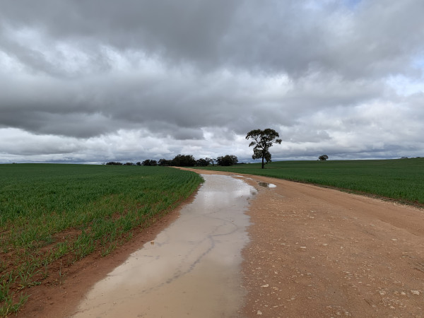
Trade winds strengthen, increasing the water moisture in the air, which usually brings rainfall to eastern and central Australia and a wetter start to the northern wet season.
The Bureau’s three-month climate outlook shows a high chance of above average rainfall for most of the eastern two-thirds of the Australian mainland between September and November 2022. The outlook reflects a range of climate drivers including a negative Indian Ocean Dipole (IOD) event and warmer than average waters around Australia.
With wet soils, high rivers and full dams, and the outlook for above average rainfall, elevated flood risk remains for eastern Australia.